Most travelers probably know the difference between longitude and latitude, but do you understand the distinction between a tarn and a maar? Or why a polynya forms along the coast? If you’re ready to move beyond the basics, here are 16 geography features you’ve probably never heard of before — and where to find them.
Bight

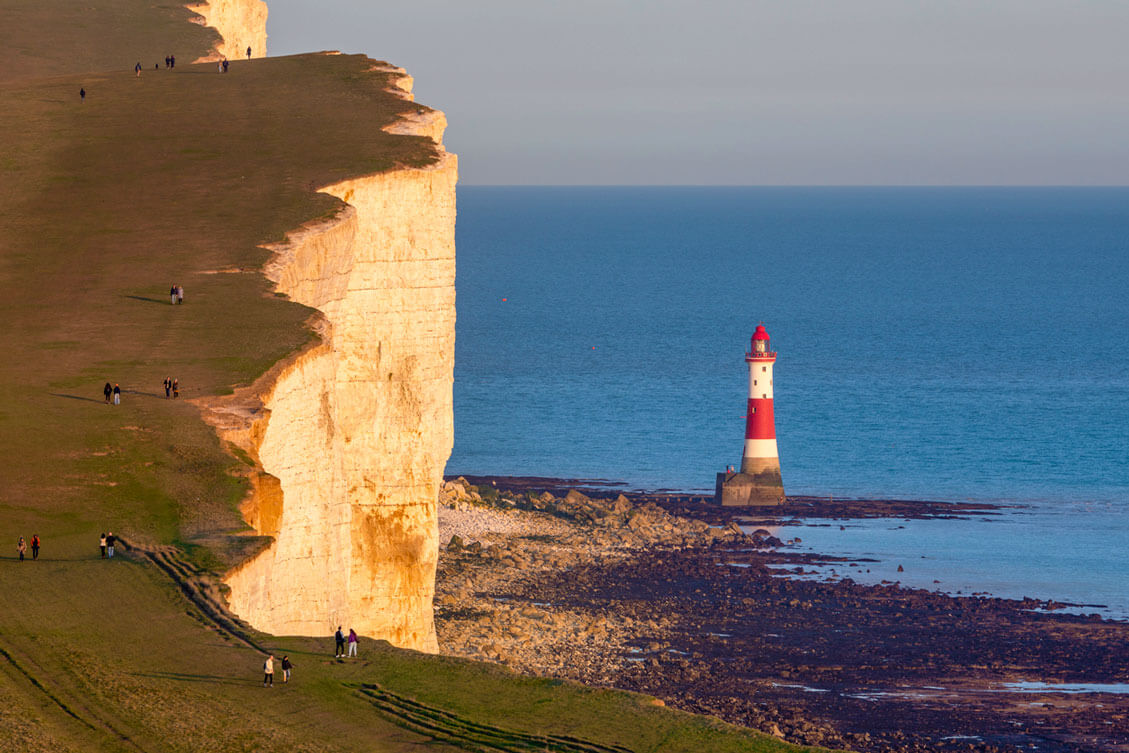
Derived from an old English term that translates to “bend,” a bight is a curved recess on a coastline. With less curvature than a typical bay and shallower depths than a sound, bights are usually well-marked on navigational maps due to being potentially hazardous to ships. One of Earth’s most famous bights is the Great Australian Bight, which stretches 720 miles along the country’s southern coastline and is home to the Great Australian Bight Marine Park. Southern California is also known for its 462-mile bight: a long, curved coastline that runs from Point Conception to San Diego.
Skerry

The term skerry is derived from the word sker in the old Norse language, which translates to “rock in the sea.” Skerries are uninhabited, rocky islands that are often grouped into clusters and are sometimes referred to as low sea stacks. Most often found in the Northern Hemisphere, skerries are particularly common in Europe’s more northern latitudes. Well-known examples include the Minina Skierries in Russia and Dubh Artach in the United Kingdom. Norway is home to the most concentrated number of skerries in the world, with more than 80,000 littering the coastline.
Tarn

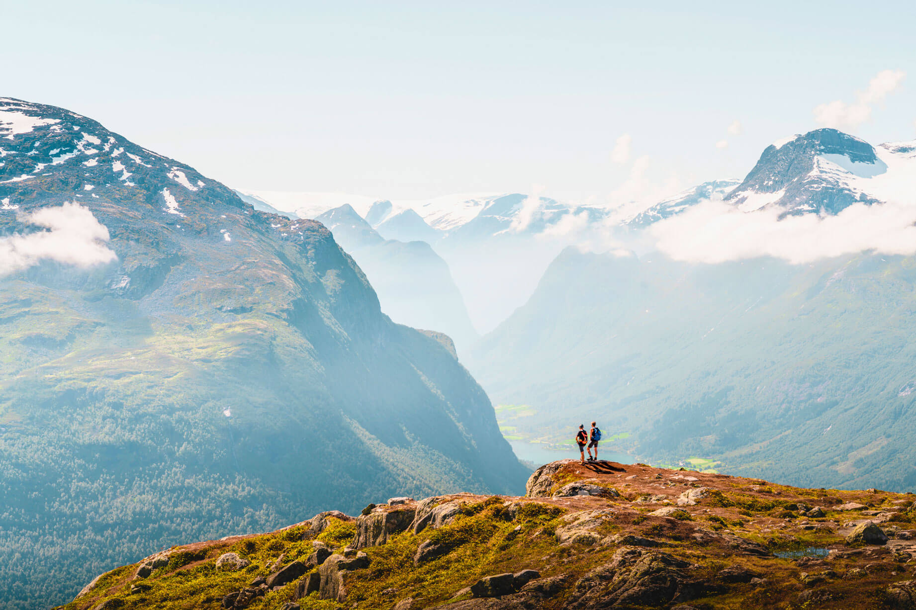
A tarn is a small mountain lake that was formed by a glacier. The geographical term evolved from the old Norse term tjorn, which refers to a small mountain lake with no tributaries. Formed in hollow ground left behind by a melted glacier, tarns are often surrounded by steep slopes that create a natural amphitheater. Tarns can be found throughout the mountainous regions of the world, with North Wales being particularly famous for its glacial tarns. Visitors to this part of the world will be treated to many crystal-clear tarns surrounded by stunning views.
Bocage

A bocage is a mix of woodland and pasture found in rural landscapes. A prominent feature of the French countryside, bocages became more widespread during the 1700s when land previously owned by nobility was divided amongst ordinary people. Since woodland could naturally demarcate one’s property, the term became useful in describing a “lush, enclosed landscape.” This sort of geographical feature is most common in rural parts of western France, but can also be found in England, Ireland, and the Netherlands.
Polynya

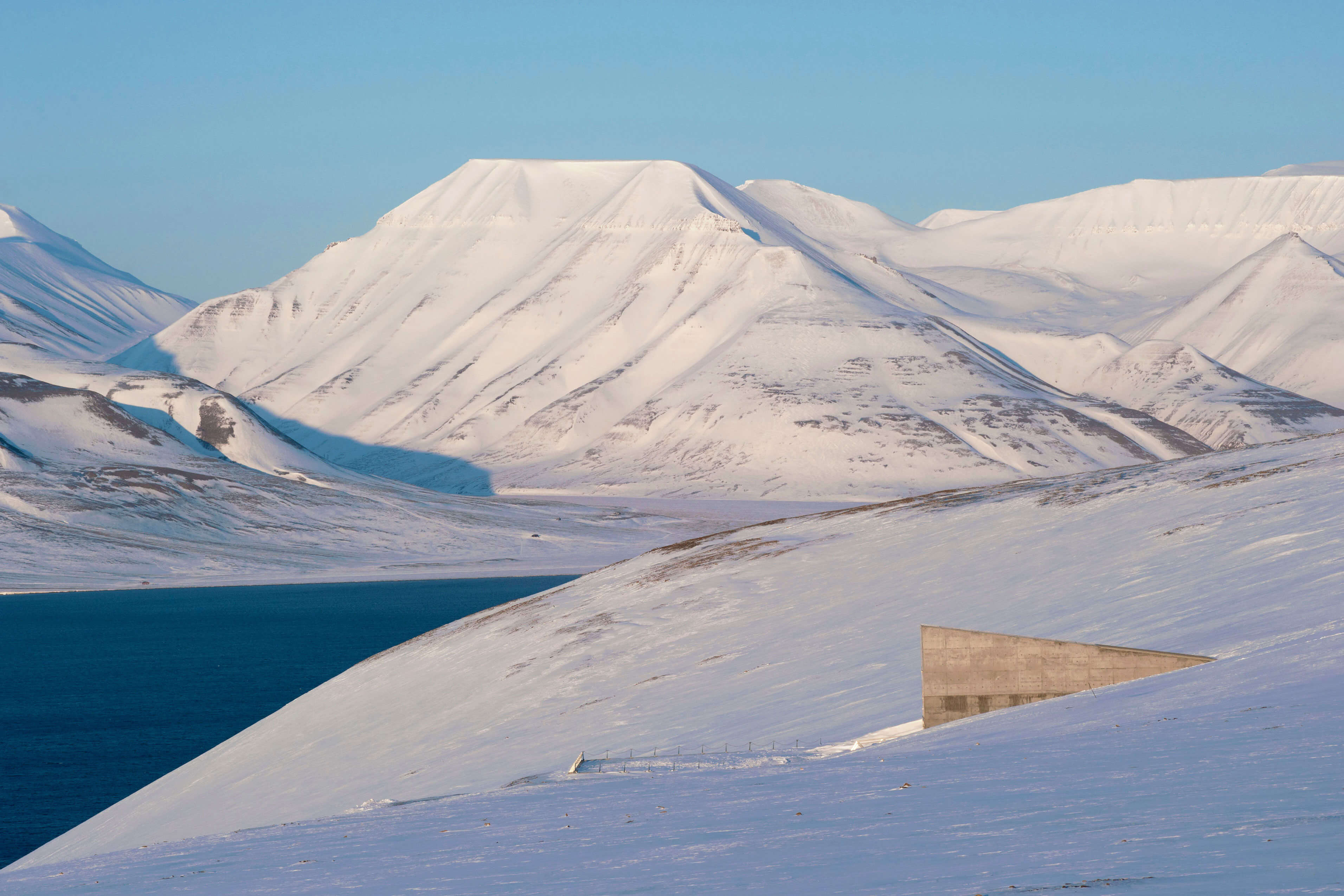
A polynya is a Russian term that refers to an open body of water that is completely surrounded by ice. Most often, polynyas are found in either the Arctic Ocean or the Southern Ocean, although they can also form in lakes and rivers. Typically rectangular or circular in shape, polynyas are classified into two different forms: a coastal polynya and an open-ocean polynya. A coastal polynya occurs when winds force the ice away from the coastline, while an open-ocean polynya occurs after a crack in the ice exposes the water below.
Oxbow

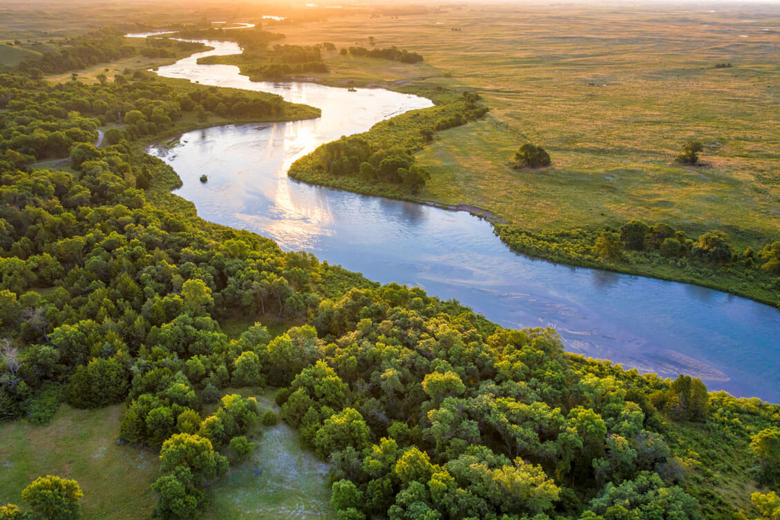
Also called an oxbow lake, an oxbow is formed when a river meanders through flat, low-lying plains. In some areas, the river finds a more direct course by creating a shortcut at a bend. The circular bend then becomes an oxbow lake, as concave banks eventually stop the flow of water. As a result, what was once a river turns into a curving, narrow lake. Oxbows are especially common in South America along the Amazon River and are known to provide an ideal habitat for wildlife, such as river otters, who can find plenty of fish in their calm currents.
Calanque

Specific to the Mediterranean Sea, a calanque refers to a narrow inlet surrounded by steep limestone cliffs. Calanques are relatively young from a geological standpoint, having begun to form when the region’s coastal valleys were flooded in 11,000 BCE. (By comparison, the coastal valleys in the Mediterranean date back 5.5 million years.) One of the most popular spots to see calanques is on the southern coast of France. The Massif des Calanques stretches from Marseille for over 20 miles to Cassis and boasts dramatic calanques with limestone cliffs that soar nearly 2,000 feet high.
Moraine

Moraine is material that has been moved and deposited by a glacier. Similar to how a river can carry rocks, sand, and silt in its current, a glacier can also transport debris as it moves. There are several different types of moraines, each of which results in different land formations. An end moraine forms when a glacier deposits all of its debris at its terminus. A lateral moraine is deposited on the sides of a glacier, forming a valley. A medial moraine sits on top of a glacier, leaving behind ridgelines. Lastly, a supraglacial moraine also forms on the surface of the glacier, but the debris is evenly distributed after the glacier melts.
Cenote

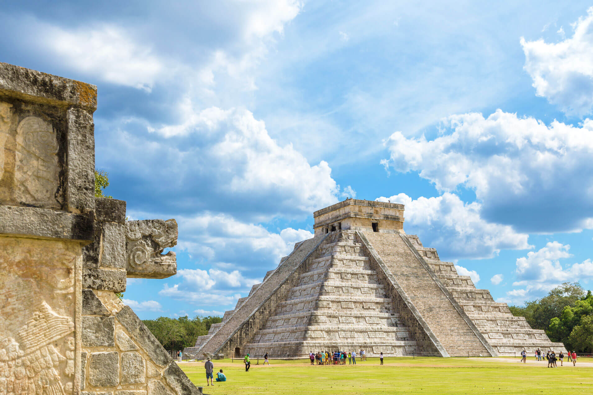
Pronounced “seh-no-tay,” a cenote is a cave that contains a sinkhole of deep water that is fed from a current of subterranean rivers and rainwater. Mexico’s Yucatan peninsula is famous for its abundance of cenotes, part of the region’s vast cave system. The term comes from the ancient Mayans, who called these sinkholes dz’onot, which translates to “cavern with water.” Cenotes were traditionally used by Mayans as a water source and as a site for rituals. Archeologists have found human and animal bones at the bottom of some cenotes, in addition to treasures such as jade, gold, and pottery.
Isthmus

An isthmus refers to a narrow strip of land that connects two larger landmasses, separating two large bodies of water in the process. A prominent example is the city of Seattle, which is located on an isthmus that divides Puget Sound and Lake Washington. Due to their distinctive shape, isthmuses have been used strategically throughout history, their natural landscape making them useful for trade routes, military outposts, and ports. For example, the Isthmus of Panama is the site of one of the world’s most famous trade routes throughout the world, the Panama Canal, which connects the Atlantic and Pacific Oceans.
Loess

A loess forms when sediment is carried by wind and deposited onto land. The term is derived from the German word for “loose,” since these wind-blown deposits are loosely packed together. Varying in size, from an inch tall to hundreds of feet high, many of the world’s more substantial loess deposits formed during the last Ice Age. The most extensive loess deposit can be found on the Loess Plateau in northern China, which maintains an average height of 4,000 feet above sea level. The Loess Hills in western Iowa form the second-largest loess deposit in the world, and there is a 220-mile scenic byway that travels directly through the windblown hills.
Maar

A maar is formed after hot magma comes into contact with shallow groundwater, producing a violent explosion above ground. The explosion results in a circular, hollow depression that fills with groundwater to form a shallow pond or lake. Parts of Alaska are known for their substantial maars, especially in the Bering Land Bridge National Preserve on the Seward Peninsula. The preserve contains the four largest maars in the world, including North Killeak Maar, which is estimated to be over 50,000 years old, and Whitefish Maar, which is between 100,000 and 200,000 years old.
Taiga

A taiga (also called a boreal forest) is a forest located in the subarctic zone, which is the region just below the Arctic Circle in the Northern Hemisphere. Situated between the vast arctic tundra and more temperate forests to the south, taigas are common in Scandinavia, Canada, and Alaska. However, the world’s largest taiga is located in Siberia, a forest that covers hundreds of thousands of square miles and stretches from Russia’s Pacific coastline to the Ural Mountains. The Siberian taiga contains a mix of coniferous trees such as pine, spruce, and fir, in addition to a few deciduous trees, such as birch. The region is home to brown bears, wolves, lynx, and elk.
Presque-Isle

The French term presque-isle translates to “almost island,” and is used geographically to describe a location that is technically a peninsula, but appears to be an island. Upon closer examination, a thin strip of land connects the “almost island” to the mainland. The walled city of Saint-Malo in France is a famous example of a presque-isle, as is Peñón de Vélez de la Gomera, Spain. In the United States, presque-isles can be found in the Great Lakes Region, such as Presque Isle State Park on Lake Erie and the aptly named Presque Isle on Lake Michigan.
Machair

A geographical term that refers to the grassy plains of Ireland and Scotland, machair translates to “fertile plain” in Gaelic. Located along oceanic coastlines, machairs are often subject to ecological and conservation laws, as they have unique ecosystems that require special attention. Kelp protects machairs from erosion, which allows rare flowers, including different orchid varieties, to bloom in the warmer months. The Outer Hebrides, an island chain on the west coast of Scotland, has plenty of machairs to explore, including walking paths and white sand beaches on Berneray and rich and rare plant life on Uist.
Arête

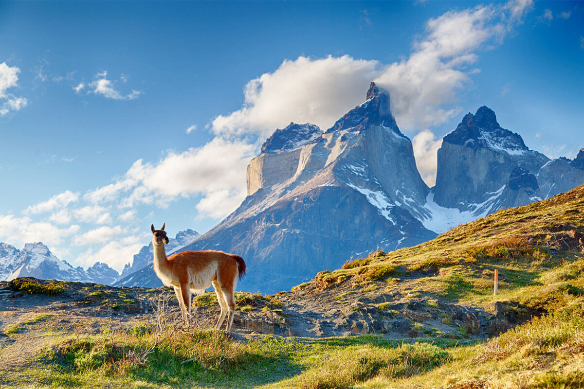
The French word for “ridge,” an arête is a thin ridgeline that separates two cirques, or circular basins formed by glaciers. After a glacier carves out steep bowls on either side of a mountain, it leaves behind a sharp ridgeline which is referred to as an arête. A common example is the Garden Wall in Glacier National Park, a famous landform known for its razor-thin arêtes. Over time, these arêtes will erode to create other unique landforms. Case in point: Matterhorn Mountain in Switzerland once featured multiple arêtes, but these landforms have since eroded to form a horn, the distinctive shape for which the peak is named.